DON'T SETTLE FOR LESS THAN THE MOST INTELLIGENT AERIAL MAP ON EARTH
JULY 2021 | SHELLHARBOUR, NSW AU
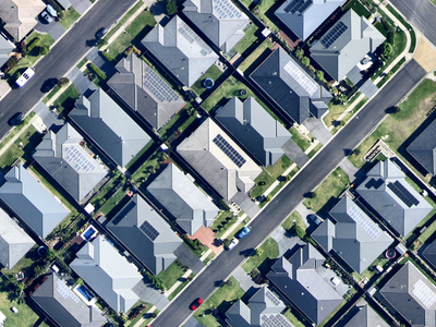
SEE MORE OF YOUR MARKET IN HIGH-RESOLUTION: MORE CLEARLY AND MORE OFTEN
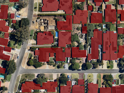
Identify new business opportunities and analyse properties in high-resolution detail, with greater insights from capabilities such as AI data layers, measuring tools, mark-ups, and 3D reality models.
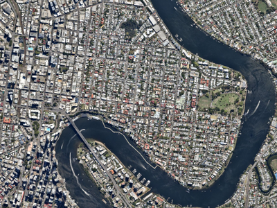
MORE OF AUSTRALIA’S POPULATION COVERED
Grow your scope with Nearmap high-resolution aerial imagery which covers 93% of Australia's population —100 urban areas over 448,00km2. Nearmap is working to cover 95% of Australia’s population with vertical imagery by the end of 2023.
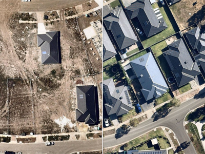
MORE HISTORY: SEE UP TO 15 YEARS BACK
For over 15 years, Nearmap has captured trustworthy, high-quality aerial imagery, giving you a back-catalogue showing historical change from consistent perspectives. With a more accurate view of the past, you can more accurately analyse, model, and plan for the future.
LOCAL SUPPORT AND SERVICE
Local Nearmap team members are available to help you achieve your business goals with information to get you started, as well as tips and shortcuts along the way!


Level 4, Tower One
100 Barangaroo Avenue
Barangaroo, NSW 2000
☎ 1800 632 762
10897 S River Front Pkwy
Suite 150
South Jordan, UT 84095
☎ 1-844-463-2762